


View forecast
Selwyn Snowfields at 1400 m altitude
Issued by Snow-Forecast.com at: 3 am (local time) / 03 Jun 2024
Now
Monday 3 | Tuesday 4 | Wednesday 5 | Thursday 6 | Friday 7 | Saturday 8 | Sunday 9 | |||||||||||||||
AM | PM | night | AM | PM | night | AM | PM | night | AM | PM | night | AM | PM | night | AM | PM | night | AM | PM | night | |
light snow | light snow | cloudy | some clouds | cloudy | cloudy | cloudy | light rain | light rain | cloudy | cloudy | some clouds | some clouds | some clouds | clear | clear | clear | some clouds | clear | clear | some clouds | |
km/h | |||||||||||||||||||||
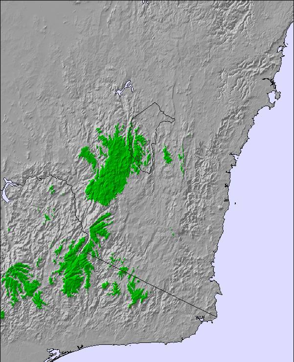
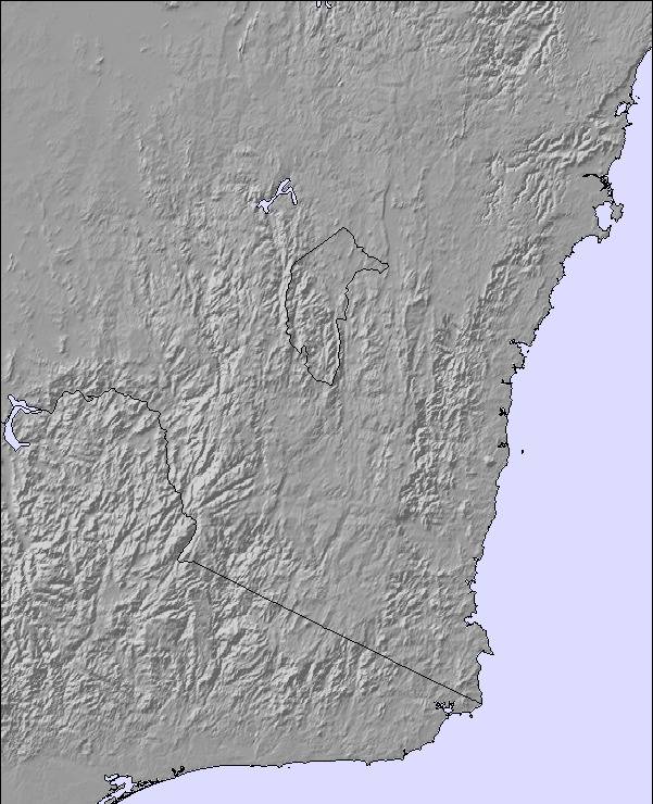
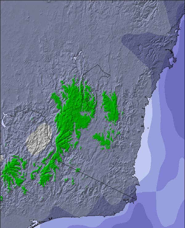
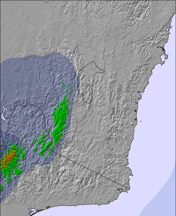
Snow map | 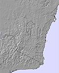 |  | 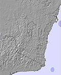 | 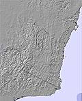 | 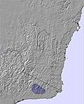 | 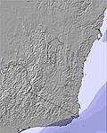 | 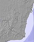 | ||||||||||||||
1.0 | — | — | — | — | — | — | — | — | — | — | — | — | — | — | — | — | — | — | — | — | |
— | — | — | — | — | — | — | 1.0 | 3 | — | — | — | — | — | — | — | — | — | — | — | — | |
max°C | 0 | 0 | 1 | 6 | 5 | 2 | 5 | 5 | 4 | 6 | 4 | 2 | 7 | 5 | 3 | 10 | 8 | 2 | 8 | 7 | 1 |
min°C | 0 | 0 | -1 | 3 | 3 | 2 | 5 | 3 | 3 | 4 | 3 | 1 | 5 | 3 | 2 | 7 | 3 | 1 | 5 | 2 | 0 |
-4 | -3 | -4 | 1 | 1 | 0 | 3 | 0 | 0 | -1 | -1 | -3 | 2 | 0 | 0 | 7 | 1 | 1 | 5 | 2 | 0 | |
98 | 98 | 99 | 95 | 83 | 88 | 92 | 93 | 89 | 93 | 92 | 88 | 83 | 88 | 83 | 65 | 60 | 85 | 82 | 67 | 82 | |
1400 | 1350 | 3050 | 3100 | 3400 | 3050 | 2400 | 2200 | 2200 | 2350 | 2200 | 2200 | 2300 | 2600 | 2550 | 2750 | 2850 | 2650 | 2600 | 2800 | 2600 | |
7:07 | — | — | 7:09 | — | — | 7:09 | — | — | 7:09 | — | — | 7:11 | — | — | 7:11 | — | — | 7:11 | — | — | |
— | 4:59 | — | — | 4:59 | — | — | 4:59 | — | — | 4:59 | — | — | 4:58 | — | — | 4:58 | — | — | 4:58 | — | |
Next 0-3 days weather summary:
A dusting of snow turning to light rain (total 4.0mm) on Wed afternoon. Freeze-thaw conditions (max 6°C on Tue morning, min -1°C on Mon night). Wind will be generally light.
Next 4-6 days weather summary:
Mostly dry. Very mild (max 10°C on Sat morning, min 1°C on Thu night). Wind will be generally light.
Popular Selwyn Snowfields Pages
Snow Radar
Latest snow reports near Selwyn Snowfields:
Selwyn Snowfields Snow Conditions
| Top snow depth: | — |
|---|---|
| Bottom snow depth: | — |
| Fresh snowfall depth: | 2 cm |
| Last snowfall: | 2 Jun 2024 |
| Snow Alerts | Create Alert |
Other resorts in Australia - New South Wales are reporting: powder (0) / good piste (0)
Snow-Forecast Partner Offers
Show your business here
Snow History
Week 1 of June has on average:
0.0 | Bluebird Powder days Fresh snow, mostly sunny, light wind. |
|---|---|
0.4 | Powder days Fresh snow, limited sun, any wind. |
0.1 | Bluebird days Average snow, mostly sunny, light wind. |
Selwyn Snowfields Forecast Snowfall
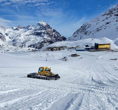
Photos of Selwyn Snowfields
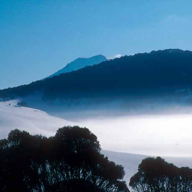
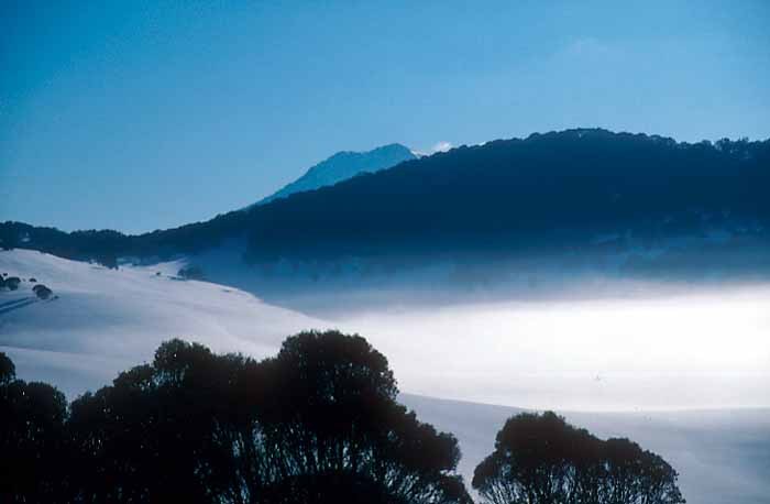
Jagungal View by telestrom
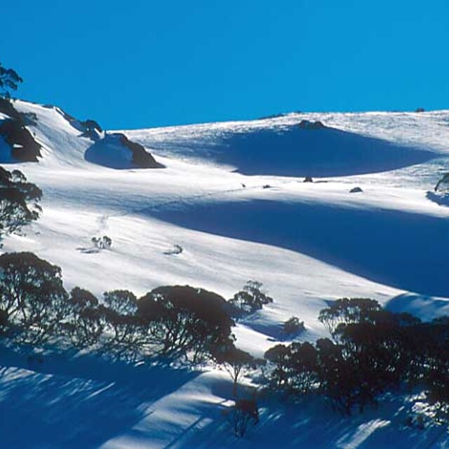
Slopes behind Schlink Pass by telestrom
Other resorts in Australia - New South Wales are reporting: powder (0) / good piste (0)
The above table gives the weather forecast for Selwyn Snowfields at the specific elevation of 1400 m. Our sophisticated weather models allow us to provide snow forecasts for the top, middle and bottom ski stations of Selwyn Snowfields. To access the weather forecasts for the other elevations, use the tab navigation above the table. For a wider view of the weather, check out the Weather Map of Australia.
Click here to read further information on freezing levels and how we forecast our temperatures.
Visitor Reviews of Selwyn Snowfields
Overall 3.3 Based on 5 votes and 3 reviews
- Snowsure
- Variety of pistes
- Vote
- Linc from Australia writes:
Selwyn's a day trip resort for those who live within a couple of hours drive. Alot of snow is man made and often has hard icy surfaces. Apart from that its good to learn at, (if you can ride on ice you can ride on anything) youll never get lost, you start at the top and ride to a lift rather than getting on a lift first. you can also finnish your day by riding back to the start from the summit.
Visitor Reviews of Selwyn Snowfields
Linc from Australia writes:
Selwyn's a day trip resort for those who live within a couple of hours drive. Alot of snow is man made and often has hard icy surfaces. Apart from that its good to learn at, (if you can ride on ice you can ride on anything) youll never get lost, you start at the top and ride to a lift rather than getting on a lift first. you can also finnish your day by riding back to the start from the summit.
Free Snow-Forecast.com weather widget for your website
The Selwyn Snowfields skiing weather widget is available to embed on external websites free of charge. It provides a daily summary of our Selwyn Snowfields snow forecast and current weather conditions. Simply go to the feed configuration page and follow the 3 simple steps to grab the custom html code snippet and paste it into your own site. You can choose the snow forecast elevation (summit, mid-mountain or bottom lift) and metric/imperial units for the snow forecast feed to suit your own website…. Click here to get the code.
View detailed snow forecast for Selwyn Snowfields at:
snow-forecast.com

 Nearest