


View forecast
Riksgränsen at 705 m altitude
Issued by Snow-Forecast.com at: 7 am (local time) / 20 May 2024
Now
Monday 20 | Tuesday 21 | Wednesday 22 | Thursday 23 | Friday 24 | Saturday 25 | Sunday 26 | |||||||||||||||
AM | PM | night | AM | PM | night | AM | PM | night | AM | PM | night | AM | PM | night | AM | PM | night | AM | PM | night | |
light snow | light snow | light snow | some clouds | some clouds | cloudy | cloudy | some clouds | some clouds | some clouds | clear | clear | light rain | mod. rain | mod. rain | cloudy | some clouds | clear | clear | clear | some clouds | |
km/h | |||||||||||||||||||||
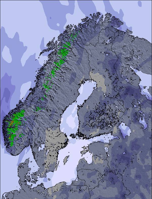
Snow map | 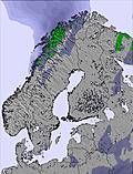 | 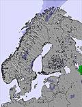 | 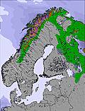 | 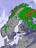 | 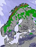 | 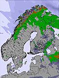 | 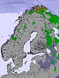 | ||||||||||||||
3 | 4 | 3 | — | — | — | — | — | — | — | — | — | — | — | — | — | — | — | — | — | — | |
— | — | — | — | — | — | — | — | — | — | — | — | 2.0 | 9 | 7 | — | — | — | — | — | — | |
max°C | -4 | -4 | -4 | -3 | 0 | 1 | 5 | 7 | 10 | 12 | 14 | 16 | 13 | 10 | 8 | 6 | 9 | 9 | 14 | 18 | 17 |
min°C | -5 | -4 | -7 | -5 | -2 | -2 | 3 | 6 | 8 | 11 | 13 | 13 | 11 | 9 | 6 | 6 | 8 | 9 | 11 | 16 | 13 |
-12 | -10 | -10 | -5 | -2 | -2 | 3 | 6 | 7 | 10 | 13 | 11 | 10 | 7 | 5 | 5 | 7 | 9 | 11 | 16 | 13 | |
92 | 90 | 96 | 65 | 53 | 73 | 92 | 84 | 68 | 71 | 59 | 53 | 85 | 99 | 100 | 89 | 58 | 55 | 59 | 52 | 69 | |
0 | 0 | 0 | 250 | 650 | 0 | 2050 | 2450 | 2700 | 2950 | 3100 | 2950 | 2650 | 2600 | 2200 | 2200 | 2500 | 2800 | 3000 | 3000 | 2800 | |
1:45 | — | — | 12:00 | — | — | 1:23 | — | — | 1:08 | — | — | 12:00 | — | — | 12:00 | — | — | 12:00 | — | — | |
— | — | 11:51 | 12:00 | — | — | 12:02 | — | — | 12:18 | — | — | 12:00 | — | — | 12:00 | — | — | 12:00 | — | — | |
Next 0-3 days weather summary:
A light covering of new snow, mostly falling on Mon afternoon. Freeze-thaw conditions (max 10°C on Wed night, min -7°C on Mon night). Wind will be generally light.
Next 4-6 days weather summary:
Moderate rain (total 18.0mm), heaviest on Fri afternoon. Very mild (max 16°C on Thu night, min 6°C on Fri night). Wind will be generally light.
Popular Riksgränsen Pages
Snow Radar
Submit a reportLatest snow reports near Riksgränsen:
- 3 hours ago

Continuous light snow reported from Katterjåkk - Riksgränsen at 516 metres elevation only 2 kms ESE of Riksgränsen Ski Resort from Riksgränsen
23 km away from Riksgränsen
4 hours agoLight snow showers reported from Abisko at 394 metres elevation 8 kms SE of Björkliden Ski Resort from Björkliden
- 6 hours ago
Freezing rain reported from Katterjakk A at 516 metres elevation only 2 kms ESE of Riksgränsen but it is forecast cold enough for snow at the ski area from Riksgränsen
Riksgränsen Snow Conditions
| Top snow depth: | 89 cm |
|---|---|
| Bottom snow depth: | 30 cm |
| Fresh snowfall depth: | 11 cm |
| Last snowfall: | 19 May 2024 |
| Snow Alerts | Create Alert |
Other resorts in Sweden are reporting: powder (0) / good piste (0)
Snow-Forecast Partner Offers
Show your business here
Snow History
Week 3 of May has on average:
0.1 | Bluebird Powder days Fresh snow, mostly sunny, light wind. |
|---|---|
0.5 | Powder days Fresh snow, limited sun, any wind. |
0.5 | Bluebird days Average snow, mostly sunny, light wind. |
Riksgränsen Forecast Snowfall
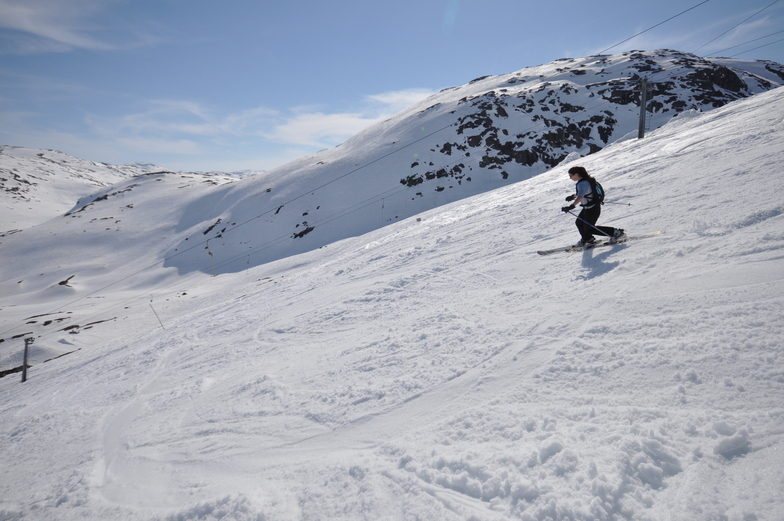
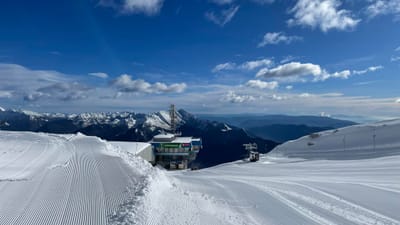
Photos of Riksgränsen
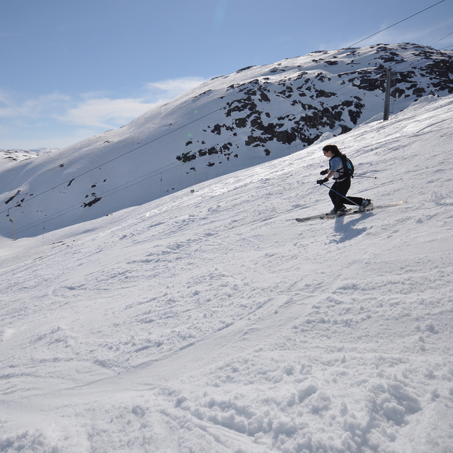
Summer Telemarking at Rik by Freeheel
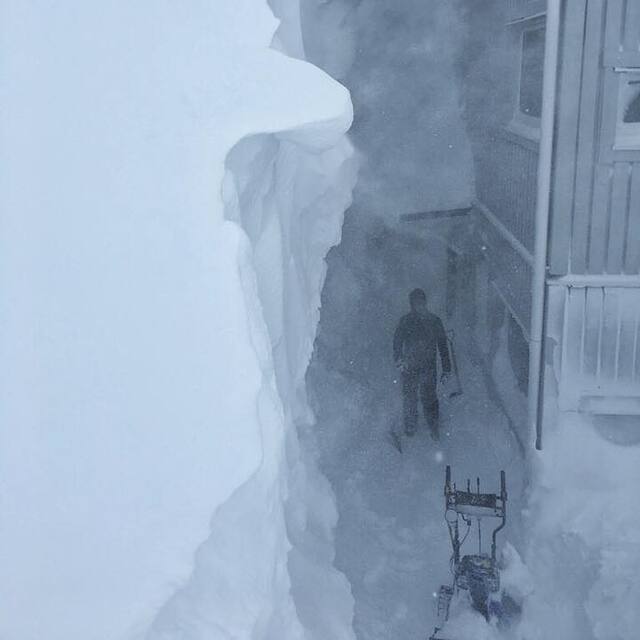
Deepest reported base in Scandinavia at 4m (13.3ft) or an April fool? by Snow Forecast Admin
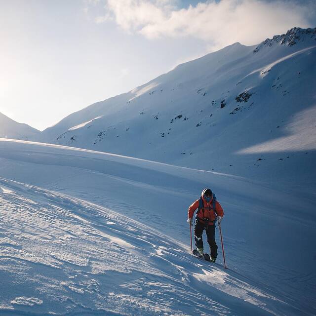
Open for four days to celebrate the summer solstice. by Snow Forecast Admin
Other resorts in Sweden are reporting: powder (0) / good piste (0)
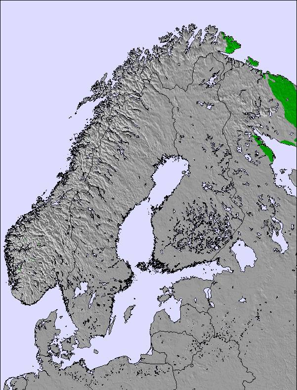
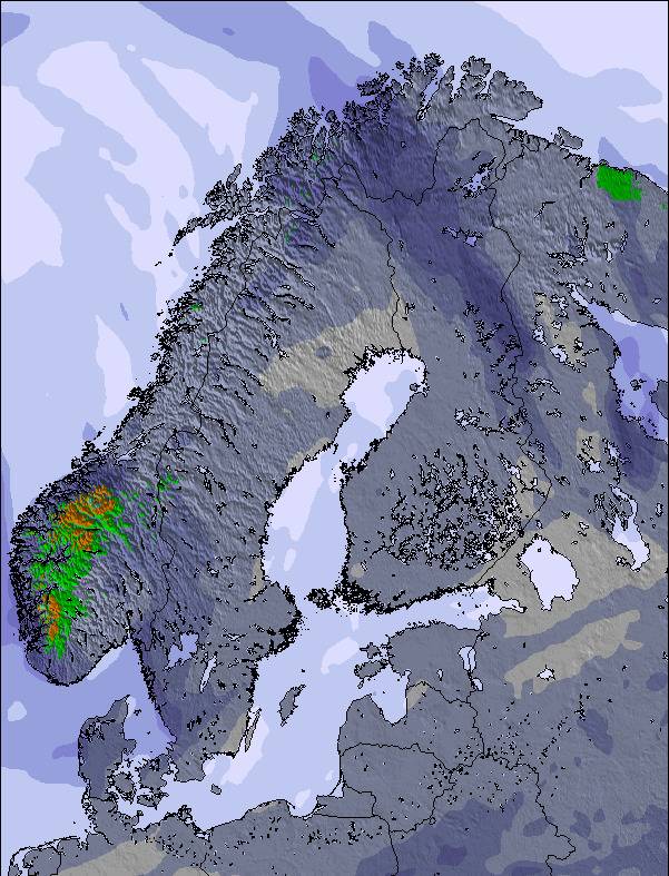
The above table gives the weather forecast for Riksgränsen at the specific elevation of 705 m. Our sophisticated weather models allow us to provide snow forecasts for the top, middle and bottom ski stations of Riksgränsen. To access the weather forecasts for the other elevations, use the tab navigation above the table. For a wider view of the weather, check out the Weather Map of Sweden.
Click here to read further information on freezing levels and how we forecast our temperatures.
Resort name is also written as Riksgransen.
Visitor Reviews of Riksgränsen
Overall 3.5 Based on 2 votes and 6 reviews
- Snowsure
- Variety of pistes
- Vote
- A Chinnery from United Kingdom writes:
Just returned from a trip around northern Scandinavia that included 3 days skiing/boarding at Riksgransen. Conditions in mid-late April were fantastic, no queues, facilities (loos, cafes) are limited but adequate. None of the groomed runs are really steep but they are interesting (they are not straight runs, and have many camber changes) so do offer some challenges for intermediate skiers. The resort comes into its own for off-piste skiing, which is extensive and it's the off-piste that seems to draw most people there. There is heli-skiing and helicopter sight seeing tours. Riksgransen is not a town/village - there is really not a lot there apart from the skiing and one hotel/restaurant and a few cafes. For those looking for a typical family skiing holiday resort, Riksgransen is probably not it, but for keen skiers/boarders looking for some seriously good snow, a late season, and in a fantastic setting then it is worth a visit.
Visitor Reviews of Riksgränsen
A Chinnery from United Kingdom writes:
Just returned from a trip around northern Scandinavia that included 3 days skiing/boarding at Riksgransen. Conditions in mid-late April were fantastic, no queues, facilities (loos, cafes) are limited but adequate. None of the groomed runs are really steep but they are interesting (they are not straight runs, and have many camber changes) so do offer some challenges for intermediate skiers. The resort comes into its own for off-piste skiing, which is extensive and it's the off-piste that seems to draw most people there. There is heli-skiing and helicopter sight seeing tours. Riksgransen is not a town/village - there is really not a lot there apart from the skiing and one hotel/restaurant and a few cafes. For those looking for a typical family skiing holiday resort, Riksgransen is probably not it, but for keen skiers/boarders looking for some seriously good snow, a late season, and in a fantastic setting then it is worth a visit.
Free Snow-Forecast.com weather widget for your website
The Riksgränsen skiing weather widget is available to embed on external websites free of charge. It provides a daily summary of our Riksgränsen snow forecast and current weather conditions. Simply go to the feed configuration page and follow the 3 simple steps to grab the custom html code snippet and paste it into your own site. You can choose the snow forecast elevation (summit, mid-mountain or bottom lift) and metric/imperial units for the snow forecast feed to suit your own website…. Click here to get the code.
View detailed snow forecast for Riksgränsen at:
snow-forecast.com

 Nearest