
Ski Hire by Intersport
CODE: FORECASTSKI

Molines en Queyras Weather (Next 3 days): The snow forecast for Molines en Queyras is: A dusting of snow giving way to moderate rain (total 18.0mm) heaviest on Wed afternoon. Mild temperatures (max 5°C on Mon afternoon, min 1°C on Mon night). Wind will be generally light.
Molines en Queyras Weather (Days 4-6): Heavy rain (total 20.0mm), mainly falling Thu afternoon. Becoming colder with a light covering of snow, mostly falling on Fri night. Freeze-thaw conditions (max 4°C on Sat afternoon, min 0°C on Thu night). Wind will be generally light.
| Resort | Snow Depth | Temp. (°C) | Wind (km/h) | Weather | ||
|---|---|---|---|---|---|---|
| Top Lift: | 2 | |||||
| Middle Lift: | 4 | |||||
| Bottom Lift: | 5 |
Latest snow reports near Molines en Queyras:

Monday 20 | Tuesday 21 | Wednesday 22 | Thursday 23 | Friday 24 | Saturday 25 | Sunday 26 | |||||||||||||||
AM | PM | night | AM | PM | night | AM | PM | night | AM | PM | night | AM | PM | night | AM | PM | night | AM | PM | night | |
rain shwrs | light rain | light snow | cloudy | rain shwrs | snow shwrs | cloudy | risk thun- der | snow shwrs | light snow | risk thun- der | snow shwrs | snow shwrs | light snow | snow shwrs | rain shwrs | risk thun- der | rain shwrs | clear | risk thun- der | rain shwrs | |
km/h | |||||||||||||||||||||
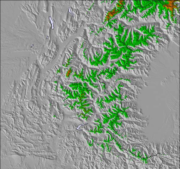
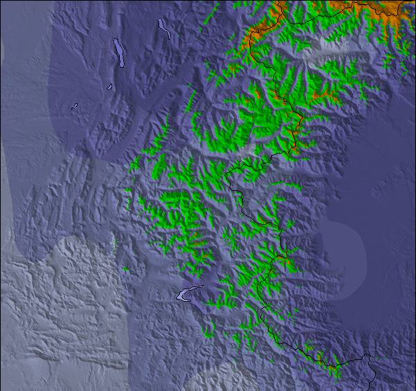
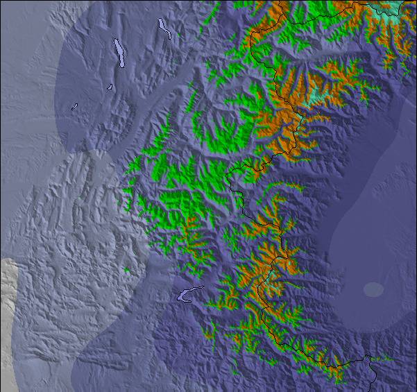
Snow map |  |  |  |  |  |  |  | ||||||||||||||
— | — | 1.0 | — | — | — | — | — | — | — | — | — | — | 3 | 5 | — | — | — | — | — | — | |
1.0 | 2.0 | 2.0 | — | 3 | 2.0 | — | 5 | 3 | 2.0 | 7 | 2.0 | — | 3 | — | 1.0 | 2.0 | 3 | — | 1.0 | 1.0 | |
max°C | 3 | 5 | 3 | 2 | 4 | 3 | 2 | 4 | 3 | 2 | 3 | 2 | 2 | 3 | 1 | 2 | 4 | 4 | 5 | 7 | 6 |
min°C | 2 | 4 | 1 | 2 | 4 | 1 | 1 | 4 | 2 | 1 | 3 | 0 | 0 | 2 | 1 | 1 | 3 | 3 | 4 | 7 | 5 |
0 | 3 | 0 | 0 | 2 | -2 | -1 | 3 | 2 | 1 | 1 | 0 | 0 | 2 | -1 | -1 | 3 | 2 | 4 | 7 | 5 | |
80 | 78 | 98 | 86 | 78 | 75 | 84 | 79 | 86 | 78 | 87 | 88 | 77 | 92 | 87 | 88 | 84 | 65 | 62 | 75 | 78 | |
2800 | 3000 | 2700 | 2700 | 2900 | 2600 | 2750 | 2950 | 2700 | 2700 | 2800 | 2600 | 2700 | 2700 | 2600 | 2750 | 2950 | 3100 | 3100 | 3400 | 3300 | |
5:58 | — | — | 5:56 | — | — | 5:56 | — | — | 5:56 | — | — | 5:54 | — | — | 5:54 | — | — | 5:52 | — | — | |
— | — | 9:00 | — | — | 9:00 | — | — | 9:01 | — | — | 9:02 | — | — | 9:04 | — | — | 9:05 | — | — | 9:06 | |
A dusting of snow giving way to moderate rain (total 18.0mm) heaviest on Wed afternoon. Mild temperatures (max 5°C on Mon afternoon, min 1°C on Mon night). Wind will be generally light.
Heavy rain (total 20.0mm), mainly falling Thu afternoon. Becoming colder with a light covering of snow, mostly falling on Fri night. Freeze-thaw conditions (max 4°C on Sat afternoon, min 0°C on Thu night). Wind will be generally light.
Latest snow reports near Molines en Queyras:
| Top snow depth: | — |
|---|---|
| Bottom snow depth: | — |
| Fresh snowfall depth: | — |
| Last snowfall: | 16 May 2024 |
| Snow Alerts | Create Alert |
0.4 | Bluebird Powder days Fresh snow, mostly sunny, light wind. |
|---|---|
0.1 | Powder days Fresh snow, limited sun, any wind. |
0.2 | Bluebird days Average snow, mostly sunny, light wind. |
The above table gives the weather forecast for Molines en Queyras at the specific elevation of 2451 m. Our sophisticated weather models allow us to provide snow forecasts for the top, middle and bottom ski stations of Molines en Queyras. To access the weather forecasts for the other elevations, use the tab navigation above the table. For a wider view of the weather, check out the Weather Map of France.
Click here to read further information on freezing levels and how we forecast our temperatures.
Overall 3.8 Based on 3 votes and 1 review
Top of the world, miles out of anyones way. Well worth the trip, no queues. Village is highest in Europe 2040 m. Limited ski lifts but for the brave there's lots of high mountain skiing. I stayed at hotel-astragale.com/gb/albumhiver.php Hotel is great, food not brilliant. Webcam : queyras.com/webcam/camlight.asp?webcam=saint-veran&DomMS=oui&definit=800&bc=CCCCCC&autres=oui
Patman from France writes:
Top of the world, miles out of anyones way.
Well worth the trip, no queues. Village is highest in Europe 2040 m.
Limited ski lifts but for the brave there's lots of high mountain skiing.
I stayed at hotel-astragale.com/gb/albumhiver.php
Hotel is great, food not brilliant.
Webcam :
queyras.com/webcam/camlight.asp?webcam=saint-veran&DomMS=oui&definit=800&bc=CCCCCC&autres=oui
The Molines en Queyras skiing weather widget is available to embed on external websites free of charge. It provides a daily summary of our Molines en Queyras snow forecast and current weather conditions. Simply go to the feed configuration page and follow the 3 simple steps to grab the custom html code snippet and paste it into your own site. You can choose the snow forecast elevation (summit, mid-mountain or bottom lift) and metric/imperial units for the snow forecast feed to suit your own website…. Click here to get the code.
View detailed snow forecast for Molines en Queyras at:
snow-forecast.com


 Nearest