
Ski Hire by Intersport
Click here for discount


Hintertux Weather (Next 3 days): The snow forecast for Hintertux is: A light covering of new snow, mostly falling on Fri afternoon. Temperatures will be below freezing (max -1°C on Sun night, min -6°C on Fri morning). Wind will be generally light.
Hintertux Weather (Days 4-6): A heavy fall of snow, heaviest during Wed night. Temperatures will be below freezing (max 0°C on Mon afternoon, min -4°C on Wed morning). Wind will be generally light.
| Resort | Snow Depth | Temp. (°C) | Wind (km/h) | Weather | ||
|---|---|---|---|---|---|---|
| Top Lift: | 5.1 m | -6 | ||||
| Middle Lift: | 0 | |||||
| Bottom Lift: | 6 |
Latest snow reports near Hintertux:
Drizzle reported from Flughafen Innsbruck Automatic Weather Station at 721 metres elevation 7 kms ENE of Oberperfuss but it is forecast cold enough for snow at higher elevations in the ski area from Oberperfuss

Friday 17 | Saturday 18 | Sunday 19 | Monday 20 | Tuesday 21 | Wednesday 22 | Thursday 23 | |||||||||||||||
AM | PM | night | AM | PM | night | AM | PM | night | AM | PM | night | AM | PM | night | AM | PM | night | AM | PM | night | |
light snow | light snow | light snow | some clouds | light snow | snow shwrs | some clouds | light snow | light snow | some clouds | some clouds | light snow | light snow | light snow | mod. snow | light snow | light snow | mod. snow | snow shwrs | light snow | mod. snow | |
km/h | |||||||||||||||||||||
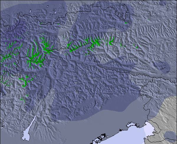
Snow map |  |  |  |  |  |  |  | ||||||||||||||
1.0 | 2.0 | 2.0 | — | — | — | — | 1.0 | 1.0 | — | — | 1.0 | 3 | 4 | 6 | 1.0 | 1.0 | 6 | — | 1.0 | 7 | |
— | — | — | — | — | — | — | — | — | — | — | — | — | — | — | — | — | — | — | — | — | |
max°C | -6 | -5 | -5 | -5 | -3 | -3 | -3 | -2 | -1 | -1 | 0 | 0 | -1 | -2 | -2 | -4 | -3 | -3 | -4 | -2 | -2 |
min°C | -6 | -5 | -5 | -5 | -3 | -4 | -4 | -2 | -2 | -2 | 0 | -1 | -2 | -2 | -3 | -4 | -3 | -4 | -4 | -3 | -4 |
-11 | -10 | -9 | -9 | -8 | -9 | -7 | -6 | -6 | -6 | -3 | -4 | -5 | -5 | -6 | -7 | -5 | -8 | -4 | -3 | -7 | |
94 | 97 | 91 | 90 | 90 | 85 | 92 | 86 | 78 | 75 | 79 | 73 | 99 | 98 | 98 | 95 | 98 | 90 | 88 | 92 | 90 | |
2350 | 2600 | 2400 | 2600 | 2850 | 2550 | 2800 | 3050 | 2950 | 3000 | 3300 | 3250 | 3000 | 2900 | 2750 | 2700 | 2750 | 2550 | 2750 | 2950 | 2700 | |
5:33 | — | — | 5:33 | — | — | 5:31 | — | — | 5:31 | — | — | 5:30 | — | — | 5:28 | — | — | 5:28 | — | — | |
— | — | 8:45 | — | — | 8:45 | — | — | 8:46 | — | — | 8:47 | — | — | 8:49 | — | — | 8:50 | — | — | 8:52 | |
A light covering of new snow, mostly falling on Fri afternoon. Temperatures will be below freezing (max -1°C on Sun night, min -6°C on Fri morning). Wind will be generally light.
A heavy fall of snow, heaviest during Wed night. Temperatures will be below freezing (max 0°C on Mon afternoon, min -4°C on Wed morning). Wind will be generally light.
Latest snow reports near Hintertux:
Drizzle reported from Flughafen Innsbruck Automatic Weather Station at 721 metres elevation 7 kms ENE of Oberperfuss but it is forecast cold enough for snow at higher elevations in the ski area from Oberperfuss
| Top snow depth: | 505 cm |
|---|---|
| Bottom snow depth: | — |
| Fresh snowfall depth: | 5 cm |
| Last snowfall: | 16 May 2024 |
| Snow Alerts | Create Alert |
0.4 | Bluebird Powder days Fresh snow, mostly sunny, light wind. |
|---|---|
1.6 | Powder days Fresh snow, limited sun, any wind. |
1.6 | Bluebird days Average snow, mostly sunny, light wind. |
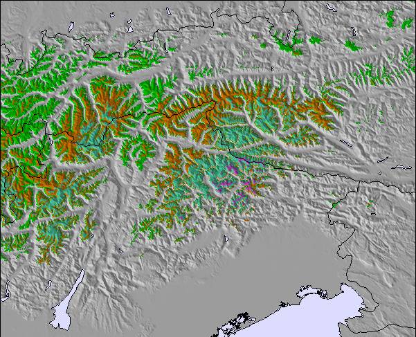
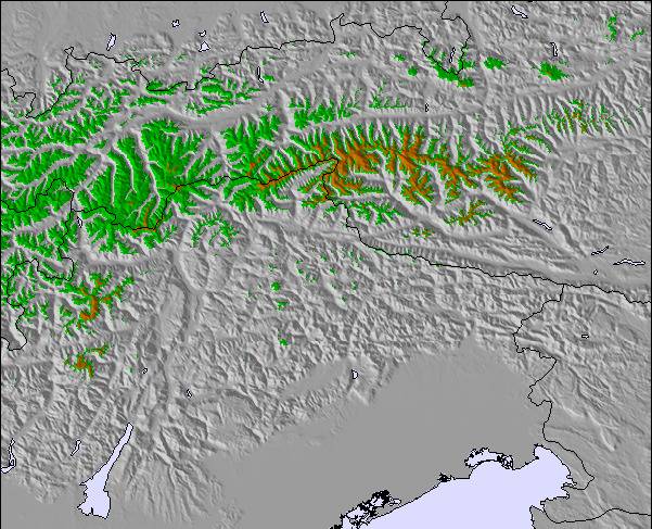
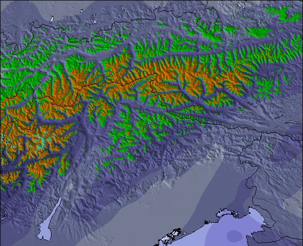
The above table gives the weather forecast for Hintertux at the specific elevation of 3250 m. Our sophisticated weather models allow us to provide snow forecasts for the top, middle and bottom ski stations of Hintertux. To access the weather forecasts for the other elevations, use the tab navigation above the table. For a wider view of the weather, check out the Weather Map of Austria.
Click here to read further information on freezing levels and how we forecast our temperatures.
Overall 4.2 Based on 19 votes and 11 reviews
Went in late season (mid April) and had an absolute fantastic time in Hintertux. High mountain had full-on winter conditions while the valley had nice' spring' with 15 Celsius and sunshine. We got some nice powder also on 2 of the days. Zero crowds, great lodging with excellent value for money.
Johan from Sweden writes:
Went in late season (mid April) and had an absolute fantastic time in Hintertux. High mountain had full-on winter conditions while the valley had nice' spring' with 15 Celsius and sunshine. We got some nice powder also on 2 of the days. Zero crowds, great lodging with excellent value for money.
The Hintertux skiing weather widget is available to embed on external websites free of charge. It provides a daily summary of our Hintertux snow forecast and current weather conditions. Simply go to the feed configuration page and follow the 3 simple steps to grab the custom html code snippet and paste it into your own site. You can choose the snow forecast elevation (summit, mid-mountain or bottom lift) and metric/imperial units for the snow forecast feed to suit your own website…. Click here to get the code.
View detailed snow forecast for Hintertux at:
snow-forecast.com


 Nearest