


View forecast
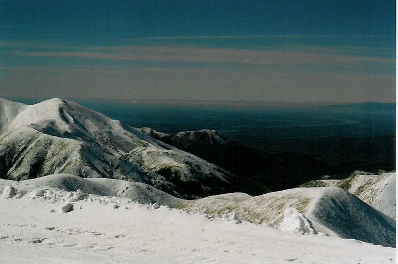
Porters at 1645 m altitude
Issued by Snow-Forecast.com at: 11 pm (local time) / 18 May 2024
Now
Sunday 19 | Monday 20 | Tuesday 21 | Wednesday 22 | Thursday 23 | Friday 24 | ||||||||||||||
night | AM | PM | night | AM | PM | night | AM | PM | night | AM | PM | night | AM | PM | night | AM | PM | night | |
light snow | light snow | light rain | some clouds | some clouds | some clouds | cloudy | light snow | light snow | light snow | some clouds | some clouds | some clouds | cloudy | cloudy | some clouds | some clouds | light snow | snow shwrs | |
km/h | |||||||||||||||||||
Snow map |  |  |  |  | 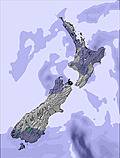 | 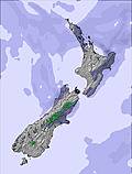 |  | ||||||||||||
1.0 | — | — | — | — | — | — | — | — | — | — | — | — | — | — | — | — | 2.0 | 4 | |
— | — | 2.0 | — | — | — | — | — | — | — | — | — | — | — | — | — | — | — | — | |
max°C | -1 | 2 | 2 | 3 | 2 | 2 | 0 | 0 | 0 | 0 | -1 | 1 | 3 | 2 | 3 | 1 | 0 | -2 | -4 |
min°C | -2 | 1 | 2 | 3 | 2 | 0 | -1 | 0 | 0 | -1 | -1 | 0 | 2 | 2 | 2 | 1 | 0 | -3 | -5 |
-2 | -3 | -2 | 0 | 2 | -2 | -4 | -3 | -3 | -4 | -4 | -2 | -1 | -1 | -2 | -3 | -2 | -9 | -10 | |
99 | 98 | 96 | 79 | 77 | 76 | 88 | 90 | 89 | 87 | 83 | 79 | 45 | 64 | 64 | 73 | 72 | 90 | 92 | |
1150 | 1800 | 2050 | 2400 | 2400 | 2300 | 1400 | 1750 | 1700 | 1550 | 1300 | 1850 | 2500 | 2200 | 2250 | 1900 | 1750 | 1350 | 950 | |
— | 7:43 | — | — | 7:43 | — | — | 7:45 | — | — | 7:46 | — | — | 7:47 | — | — | 7:48 | — | — | |
— | — | 5:15 | — | — | 5:14 | — | — | 5:13 | — | — | 5:12 | — | — | 5:12 | — | — | 5:10 | — | |
Next 0-3 days weather summary:
A dusting of snow turning to light rain (total 2.0mm) on Sun afternoon. Freeze-thaw conditions (max 3°C on Sun night, min -2°C on Sat night). Wind will be generally light.
Next 4-6 days weather summary:
A dusting of new snow. Freeze-thaw conditions (max 3°C on Wed night, min -3°C on Fri afternoon). Wind will be generally light.
Popular Porters Pages
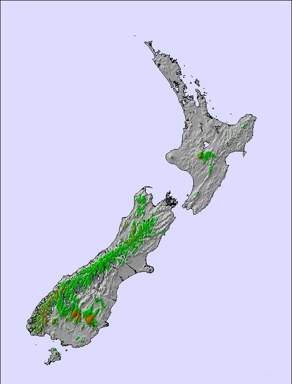
Snow Radar
Submit a reportLatest snow reports near Porters:
39 km away from Porters
52 minutes ago
Recent light snow reported from Arthur's Pass National Park Visitor Centre at 737 metres elevation only 3 kms S of Temple Basin but it is probably falling as rain apart from near the top of the ski area from Temple Basin
39 km away from Porters
2 hours agoRecent light snow reported from Arthur's Pass National Park Visitor Centre at 737 metres elevation only 3 kms S of Temple Basin but it is probably falling as rain at the bottom of the ski area from Temple Basin
Porters Snow Conditions
| Top snow depth: | — |
|---|---|
| Bottom snow depth: | — |
| Fresh snowfall depth: | — |
| Last snowfall: | 8 May 2024 |
| Snow Alerts | Create Alert |
Other resorts in New Zealand are reporting: powder (0) / good piste (0)
Snow-Forecast Partner Offers
Show your business here
Snow History
Week 3 of May has on average:
0.6 | Bluebird Powder days Fresh snow, mostly sunny, light wind. |
|---|---|
0.3 | Powder days Fresh snow, limited sun, any wind. |
0.1 | Bluebird days Average snow, mostly sunny, light wind. |

Porters Forecast Snowfall


Photos of Porters
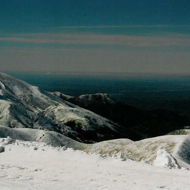
Porter Heights by pieboy
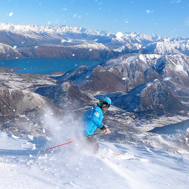
Porters - Top by Radim Palan
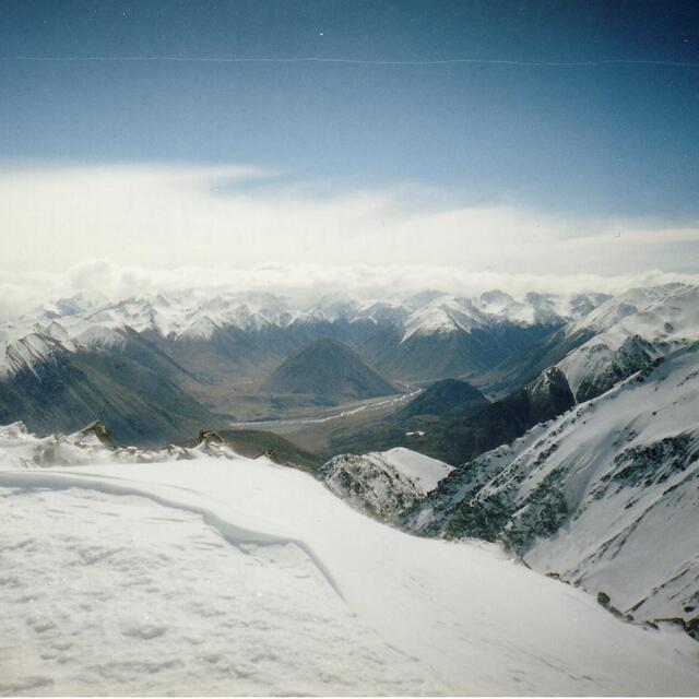
Southern Alps from Porter Heights /02 by nitro
Other resorts in New Zealand are reporting: powder (0) / good piste (0)
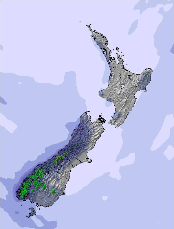
The above table gives the weather forecast for Porters at the specific elevation of 1645 m. Our sophisticated weather models allow us to provide snow forecasts for the top, middle and bottom ski stations of Porters. To access the weather forecasts for the other elevations, use the tab navigation above the table. For a wider view of the weather, check out the Weather Map of New Zealand.
Click here to read further information on freezing levels and how we forecast our temperatures.
Visitor Reviews of Porters
Overall 3.4 Based on 9 votes and 9 reviews
- Snowsure
- Variety of pistes
- Vote
- colin from New Zealand writes:
Friendly, medium sized skifield that has a good Kiwi and international mix of staff. Best option for a beginner to get going as mum and dad can have a ski and still keep an eye on the kids on the platter lifts. Coffee is great. On a full snow clear day it is unbeatable for terrain. Local tip, head for first runs in the morning to the top of T3 and come down Sundance, 3 solid runs. Then coffee run, then a fast McBulty run, Big Mamma or Bluff, lunch, sleep and finish the afternoon with a cruisy Easy street.
Visitor Reviews of Porters
colin from New Zealand writes:
Friendly, medium sized skifield that has a good Kiwi and international mix of staff. Best option for a beginner to get going as mum and dad can have a ski and still keep an eye on the kids on the platter lifts. Coffee is great. On a full snow clear day it is unbeatable for terrain. Local tip, head for first runs in the morning to the top of T3 and come down Sundance, 3 solid runs. Then coffee run, then a fast McBulty run, Big Mamma or Bluff, lunch, sleep and finish the afternoon with a cruisy Easy street.
Free Snow-Forecast.com weather widget for your website
The Porters skiing weather widget is available to embed on external websites free of charge. It provides a daily summary of our Porters snow forecast and current weather conditions. Simply go to the feed configuration page and follow the 3 simple steps to grab the custom html code snippet and paste it into your own site. You can choose the snow forecast elevation (summit, mid-mountain or bottom lift) and metric/imperial units for the snow forecast feed to suit your own website…. Click here to get the code.
View detailed snow forecast for Porters at:
snow-forecast.com

 Nearest