


View forecast
Stevens Pass at 1506 m altitude
Issued by Snow-Forecast.com at: 4 pm (local time) / 19 May 2024
Now
Sun 19 | Monday 20 | Tuesday 21 | Wednesday 22 | Thursday 23 | Friday 24 | Saturday 25 | ||||||||||||||
PM | night | AM | PM | night | AM | PM | night | AM | PM | night | AM | PM | night | AM | PM | night | AM | PM | night | |
snow shwrs | snow shwrs | cloudy | cloudy | some clouds | light snow | light snow | mod. snow | light snow | light snow | cloudy | cloudy | cloudy | cloudy | light snow | light snow | mod. snow | light snow | light snow | light snow | |
km/h | ||||||||||||||||||||
Snow map |  |  | 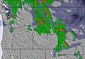 | 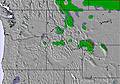 | 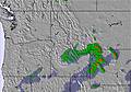 | 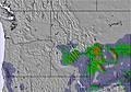 | 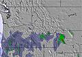 | |||||||||||||
— | — | — | — | — | 1.0 | 5 | 5 | 2.0 | — | — | — | — | — | 4 | 2.0 | 8 | 1.0 | 1.0 | — | |
— | — | — | — | — | — | — | — | — | — | — | — | — | — | — | — | — | — | — | — | |
max°C | 0 | 0 | 1 | 3 | 3 | 1 | 1 | 1 | -1 | 0 | 1 | 1 | 4 | 3 | 0 | 1 | -1 | -3 | -1 | 0 |
min°C | 0 | 0 | 0 | 2 | 1 | 1 | 1 | -2 | -3 | -1 | 0 | 1 | 3 | 2 | 0 | 1 | -4 | -4 | -2 | -1 |
-3 | -3 | -2 | -1 | -2 | -1 | 1 | -5 | -7 | -4 | -2 | 0 | 1 | 0 | -3 | -2 | -8 | -8 | -5 | -4 | |
93 | 86 | 93 | 81 | 97 | 99 | 100 | 98 | 92 | 94 | 93 | 99 | 85 | 90 | 99 | 87 | 98 | 95 | 97 | 99 | |
1550 | 1450 | 1700 | 2050 | 1900 | 1850 | 1800 | 1450 | 1300 | 1500 | 1750 | 1750 | 2300 | 2200 | 1500 | 1600 | 1000 | 1100 | 1300 | 1400 | |
— | — | 5:20 | — | — | 5:18 | — | — | 5:18 | — | — | 5:16 | — | — | 5:16 | — | — | 5:15 | — | — | |
— | 8:42 | — | — | 8:43 | — | — | 8:44 | — | — | 8:45 | — | — | 8:45 | — | — | 8:46 | — | — | 8:47 | |
Next 0-3 days weather summary:
A moderate fall of snow, heaviest on Tue afternoon. Freeze-thaw conditions (max 3°C on Mon afternoon, min -3°C on Wed morning). Wind will be generally light.
Next 4-6 days weather summary:
A moderate fall of snow, heaviest on Fri night. Freeze-thaw conditions (max 4°C on Thu afternoon, min -4°C on Fri night). Wind will be generally light.
Popular Stevens Pass Pages
Snow Radar
Latest snow reports near Stevens Pass:
Stevens Pass Snow Conditions
| Top snow depth: | — |
|---|---|
| Bottom snow depth: | — |
| Fresh snowfall depth: | 10 cm |
| Last snowfall: | 18 May 2024 |
| Snow Alerts | Create Alert |
Other resorts in USA - Washington are reporting: powder (0) / good piste (0)
Snow-Forecast Partner Offers
Show your business here
Snow History
Week 3 of May has on average:
0.1 | Bluebird Powder days Fresh snow, mostly sunny, light wind. |
|---|---|
0.1 | Powder days Fresh snow, limited sun, any wind. |
0.0 | Bluebird days Average snow, mostly sunny, light wind. |

Stevens Pass Forecast Snowfall


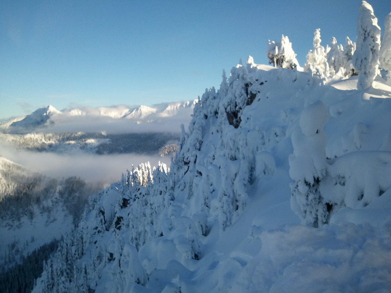
Photos of Stevens Pass
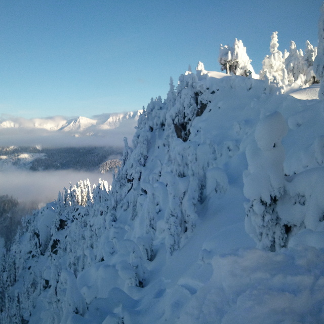
Top of the mountain by Bradford
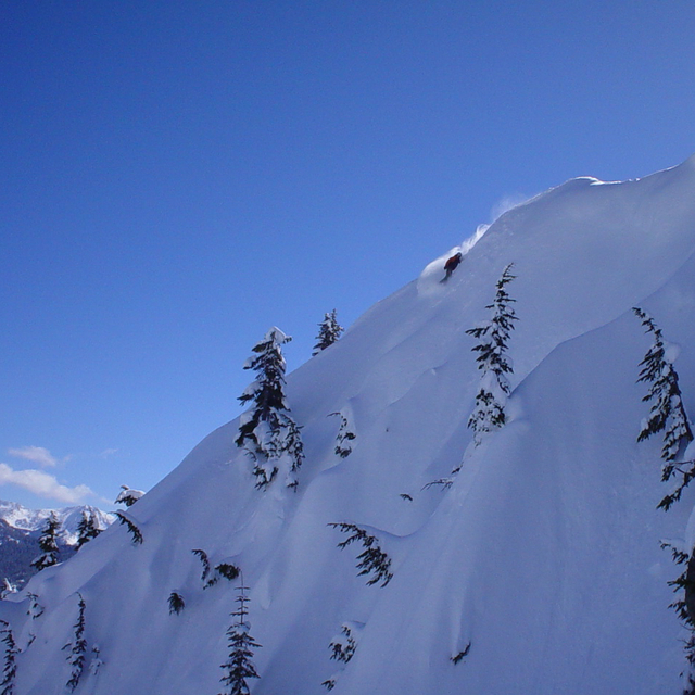
powder slash on the wall by Stone Parker
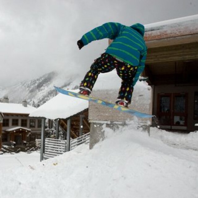
Preseason Air by Justin Hauck
Other resorts in USA - Washington are reporting: powder (0) / good piste (0)
The above table gives the weather forecast for Stevens Pass at the specific elevation of 1506 m. Our sophisticated weather models allow us to provide snow forecasts for the top, middle and bottom ski stations of Stevens Pass. To access the weather forecasts for the other elevations, use the tab navigation above the table. For a wider view of the weather, check out the Weather Map of United States.
Click here to read further information on freezing levels and how we forecast our temperatures.
Visitor Reviews of Stevens Pass
Overall 3.0 Based on 42 votes and 41 reviews
- Snowsure
- Variety of pistes
- Vote
- Miles Erickson from United States writes:
I've been skiing at Stevens as a passholder since the 2013-2014 season. That was a legendary low snow year, but Stevens stayed open, groomed heroically, and kept almost the entire resort open. This year we have epic quantities of snow, but even during the peak holiday season, almost nothing is open: the backside is closed, Big Chief Mountain is closed, popular frontside trails were ungroomed, and only two intermediate lifts are open for night skiing (vs. five in all past seasons). It's a total disaster -- Stevens is so understaffed this season that ski patrollers and park crews are running the few lifts that are open at all. Someone needs to fire the corporate management and start over.
Visitor Reviews of Stevens Pass
Miles Erickson from United States writes:
I've been skiing at Stevens as a passholder since the 2013-2014 season. That was a legendary low snow year, but Stevens stayed open, groomed heroically, and kept almost the entire resort open.
This year we have epic quantities of snow, but even during the peak holiday season, almost nothing is open: the backside is closed, Big Chief Mountain is closed, popular frontside trails were ungroomed, and only two intermediate lifts are open for night skiing (vs. five in all past seasons).
It's a total disaster -- Stevens is so understaffed this season that ski patrollers and park crews are running the few lifts that are open at all. Someone needs to fire the corporate management and start over.
Free Snow-Forecast.com weather widget for your website
The Stevens Pass skiing weather widget is available to embed on external websites free of charge. It provides a daily summary of our Stevens Pass snow forecast and current weather conditions. Simply go to the feed configuration page and follow the 3 simple steps to grab the custom html code snippet and paste it into your own site. You can choose the snow forecast elevation (summit, mid-mountain or bottom lift) and metric/imperial units for the snow forecast feed to suit your own website…. Click here to get the code.
View detailed snow forecast for Stevens Pass at:
snow-forecast.com

 Nearest