


View forecast
Mt Hood Meadows at 1802 m altitude
Issued by Snow-Forecast.com at: 4 pm (local time) / 19 May 2024
Now
Sun 19 | Monday 20 | Tuesday 21 | Wednesday 22 | Thursday 23 | Friday 24 | Saturday 25 | ||||||||||||||
PM | night | AM | PM | night | AM | PM | night | AM | PM | night | AM | PM | night | AM | PM | night | AM | PM | night | |
snow shwrs | snow shwrs | some clouds | clear | some clouds | light snow | light snow | light snow | light snow | light snow | light snow | cloudy | some clouds | some clouds | light snow | light snow | light snow | mod. snow | light snow | light snow | |
km/h | ||||||||||||||||||||
Snow map |  |  |  | 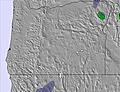 | 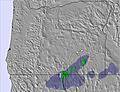 | 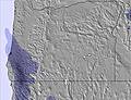 | 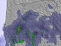 | |||||||||||||
— | — | — | — | — | — | 2.0 | 2.0 | 4 | 1.0 | — | — | — | — | — | 1.0 | 4 | 6 | 1.0 | — | |
— | — | — | — | — | — | — | 1.0 | — | — | — | — | — | — | — | — | — | — | — | — | |
max°C | 0 | -1 | 0 | 4 | 2 | 1 | 2 | 2 | -4 | 0 | 0 | 0 | 4 | 4 | 2 | 1 | -1 | -4 | -1 | -1 |
min°C | -1 | -1 | -2 | 3 | 1 | 1 | 2 | -2 | -4 | -2 | -1 | -1 | 2 | 3 | 1 | 1 | -4 | -4 | -2 | -1 |
-6 | -7 | -5 | 0 | -5 | -4 | -4 | -10 | -13 | -10 | -6 | -4 | 2 | -1 | -4 | -5 | -12 | -12 | -10 | -8 | |
70 | 77 | 66 | 54 | 60 | 97 | 96 | 94 | 91 | 89 | 87 | 84 | 66 | 64 | 97 | 83 | 91 | 92 | 92 | 93 | |
1800 | 1600 | 1800 | 2350 | 2200 | 2150 | 2250 | 1750 | 1250 | 1750 | 1550 | 1850 | 2550 | 2550 | 2100 | 1900 | 1150 | 1250 | 1550 | 1500 | |
— | — | 5:30 | — | — | 5:28 | — | — | 5:28 | — | — | 5:26 | — | — | 5:26 | — | — | 5:26 | — | — | |
— | 8:35 | — | — | 8:36 | — | — | 8:37 | — | — | 8:37 | — | — | 8:38 | — | — | 8:39 | — | — | 8:40 | |
Next 0-3 days weather summary:
Drizzle on Tue night turning to light snow on Wed morning. Freeze-thaw conditions (max 4°C on Mon afternoon, min -4°C on Wed morning). Winds increasing (light winds from the WNW on Mon morning, strong winds from the W by Tue night).
Next 4-6 days weather summary:
A moderate fall of snow, heaviest on Sat morning. Freeze-thaw conditions (max 4°C on Thu afternoon, min -4°C on Fri night). Winds increasing (calm on Thu afternoon, strong winds from the W by Fri night).
Popular Mt Hood Meadows Pages
Snow Radar
Submit a reportLatest snow reports near Mt Hood Meadows:
5 km away from Mt Hood Meadows
19 hours ago
Light rain reported from Government Camp wx at 6053 feet one mile E of Timberline but it is forecast cold enough for snow at the ski area from Timberline
Mt Hood Meadows Snow Conditions
| Top snow depth: | 0 cm |
|---|---|
| Bottom snow depth: | 0 cm |
| Fresh snowfall depth: | 1 cm |
| Last snowfall: | 18 May 2024 |
| Snow Alerts | Create Alert |
Other resorts in USA - Oregon are reporting: powder (0) / good piste (0)
Snow-Forecast Partner Offers
Show your business here
Snow History
Week 3 of May has on average:
0.1 | Bluebird Powder days Fresh snow, mostly sunny, light wind. |
|---|---|
0.3 | Powder days Fresh snow, limited sun, any wind. |
0.1 | Bluebird days Average snow, mostly sunny, light wind. |

Mt Hood Meadows Forecast Snowfall


Photos of Mt Hood Meadows
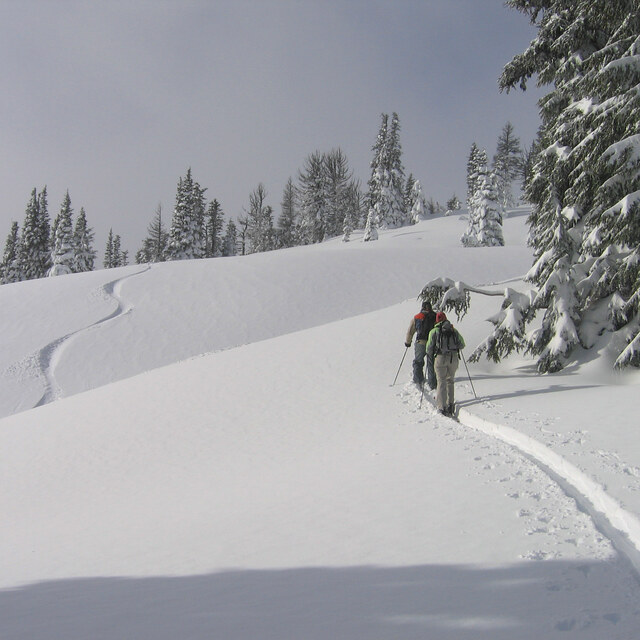
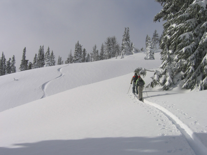
Sidecountry by Paul Berty
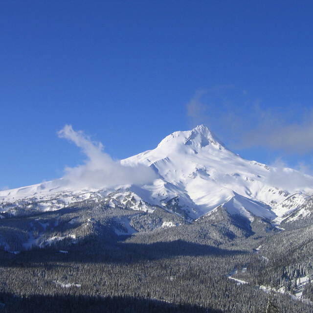
Mt Hood Meadows Ski Resort
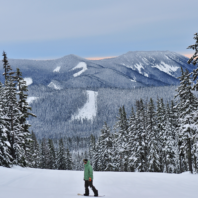
Mt.Hood Meadows by Eric Hemphill
Other resorts in USA - Oregon are reporting: powder (0) / good piste (0)
The above table gives the weather forecast for Mt Hood Meadows at the specific elevation of 1802 m. Our sophisticated weather models allow us to provide snow forecasts for the top, middle and bottom ski stations of Mt Hood Meadows. To access the weather forecasts for the other elevations, use the tab navigation above the table. For a wider view of the weather, check out the Weather Map of United States.
Click here to read further information on freezing levels and how we forecast our temperatures.
Visitor Reviews of Mt Hood Meadows
Overall 3.1 Based on 137 votes and 173 reviews
- Snowsure
- Variety of pistes
- Vote
- Beaverton Brat from United States writes:
Been off and on, currently more off than on at MHM for 20+ years. I prefer to give them the benefit of the doubt but you can only do that so long. The lines on weekends have gotten out of control, yet they'll still sell a walk up ticket. All over the website regarding size of resort Heather Canyon is noted, but it's rarely open mid-season when the storms are rolling and when it is, it's always later weekend. Must take a lot of ski patrols. I've waited for the ribbon to drop and found tracked out skiing in the canyon after fresh powder, so be it, perk of mountain staff. Having skied pretty much everywhere in the Northwest from Whistler through California, multiple trips to Canada B.C. etc, I think MHM could learn a lot from other resorts. I'll go there as a last resort, but if I can travel, I generally choose to. For me at least, the cost anymore with the lines and lack of access to supposed terrain is frustrating. I prefer challenging terrain, and MHM has some but it's often not accessible for a reason. Therefore, that just compounds frustrations. Take it for what it's worth. May your shred be gnarlable, and your gnar shreddable.
Visitor Reviews of Mt Hood Meadows
Beaverton Brat from United States writes:
Been off and on, currently more off than on at MHM for 20+ years. I prefer to give them the benefit of the doubt but you can only do that so long. The lines on weekends have gotten out of control, yet they'll still sell a walk up ticket. All over the website regarding size of resort Heather Canyon is noted, but it's rarely open mid-season when the storms are rolling and when it is, it's always later weekend. Must take a lot of ski patrols. I've waited for the ribbon to drop and found tracked out skiing in the canyon after fresh powder, so be it, perk of mountain staff. Having skied pretty much everywhere in the Northwest from Whistler through California, multiple trips to Canada B.C. etc, I think MHM could learn a lot from other resorts. I'll go there as a last resort, but if I can travel, I generally choose to. For me at least, the cost anymore with the lines and lack of access to supposed terrain is frustrating. I prefer challenging terrain, and MHM has some but it's often not accessible for a reason. Therefore, that just compounds frustrations. Take it for what it's worth. May your shred be gnarlable, and your gnar shreddable.
Free Snow-Forecast.com weather widget for your website
The Mt Hood Meadows skiing weather widget is available to embed on external websites free of charge. It provides a daily summary of our Mt Hood Meadows snow forecast and current weather conditions. Simply go to the feed configuration page and follow the 3 simple steps to grab the custom html code snippet and paste it into your own site. You can choose the snow forecast elevation (summit, mid-mountain or bottom lift) and metric/imperial units for the snow forecast feed to suit your own website…. Click here to get the code.
View detailed snow forecast for Mt Hood Meadows at:
snow-forecast.com

 Nearest